
Services offered include the following
(please click for more information)
River Health and Water Quality ● Wetlands ● Environmental Engineering ● Environmental Support to the Mining Industry ● UAV (Drone) Operations ● Biodiversity ● GIS and Biophysical Spatial Planning ● Ecological Water Requirements and Reserve Determination Studies ● Hydrology ● Advanced Ecosystem Modelling ● Aquatic and Terrestrial Biodiversity Assessments ● Diatom Analysis ● Training ● Spill Management and Landfill Site Monitoring ● Environmental Impact Assessments ● Environmental Data Management ● Corporate Social Investment ● Research ● Development and Sale of Industry Tools
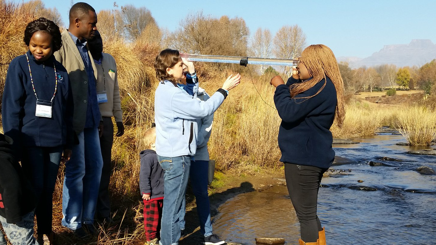
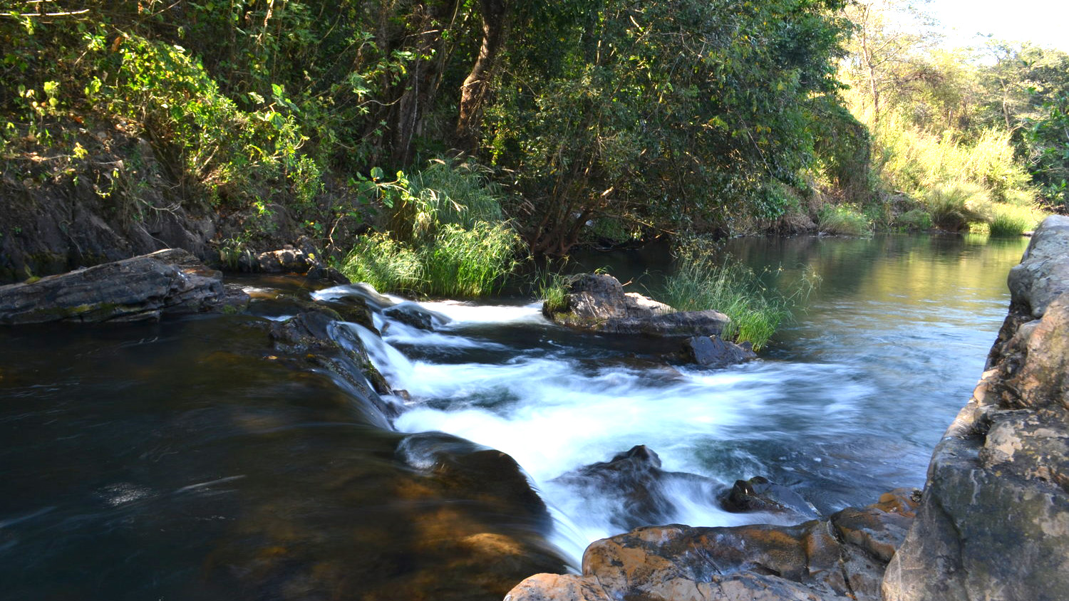

River Health and Water Quality
Water quality monitoring programmes
Water quality testing
River health assessments
Buffer zone determination
Importance and sensitivity assessments
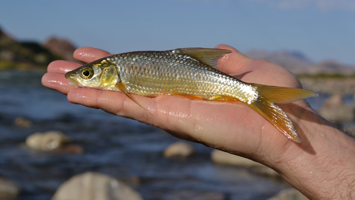
Fish surveys
Riparian vegetation assessments
River rehabilitation
Spill contamination impact assessment
Mitigation and management recommendations
Monitoring and management of habitat recovery following spill incidents
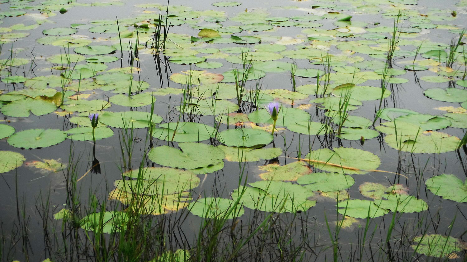
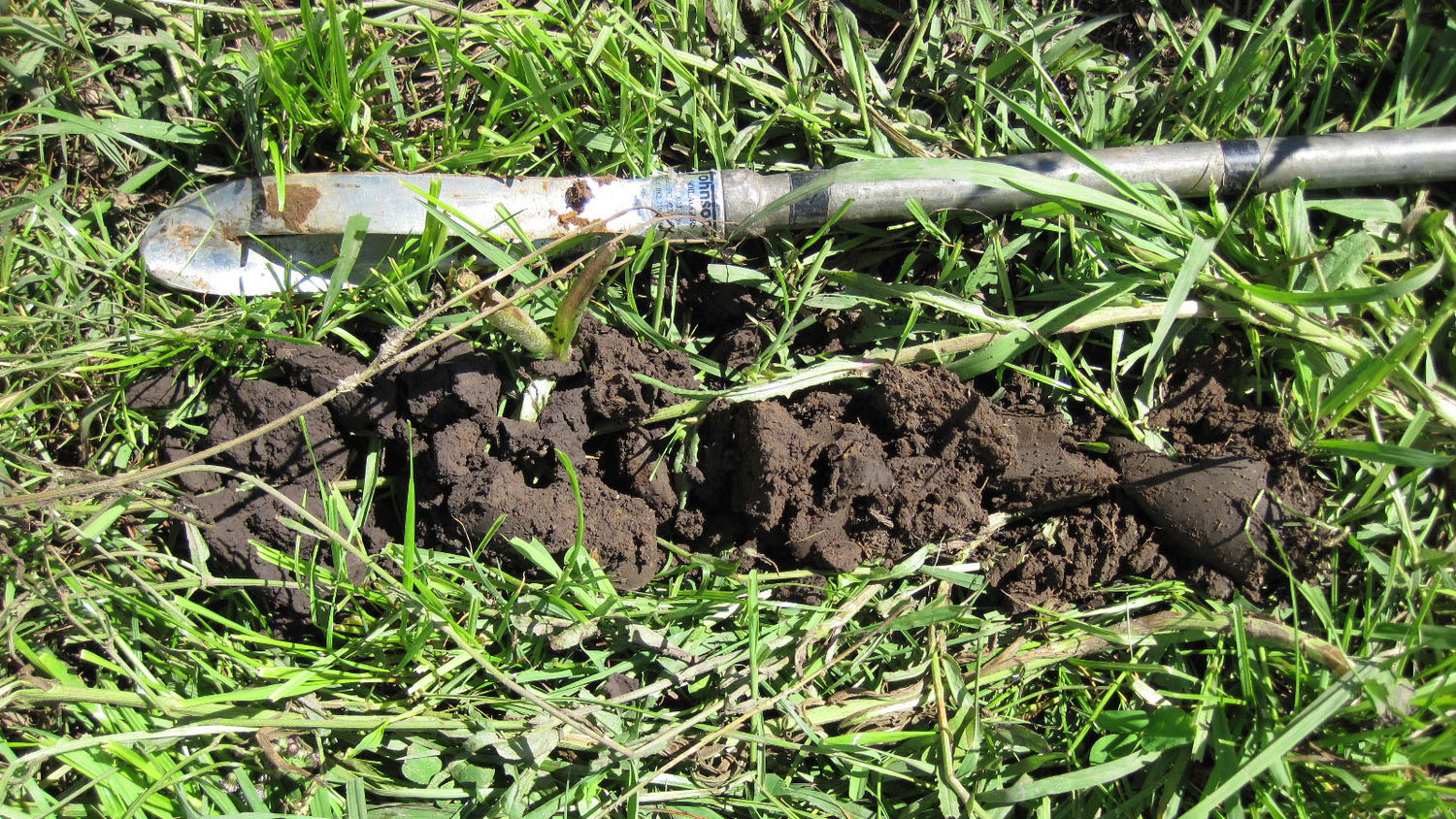
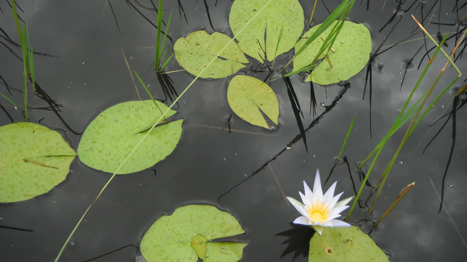
Wetlands
Wetland delineation and inventories
Wetland functional assessments (ecological importance and sensitivity)
Wetland health assessments (present ecological state)
Wetland rehabilitation planning and implementation
Wetland offset planning and recommendations
Wetland rehabilitation construction and design
Determination of wetland goods and services
Wetland Reserve determination studies
Comprehensive wetland inventory projects
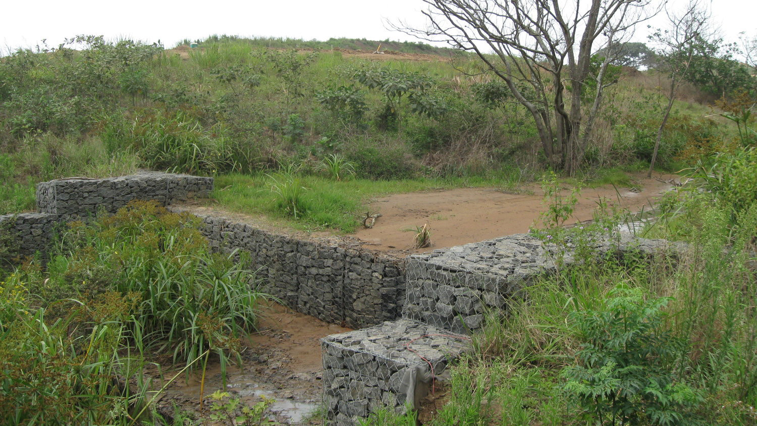
Environmental Engineering
Freshwater ecosystem rehabilitation planning and design
Specialist design and implementation of created wetlands for enhancement of water quality
Construction supervision, project management and compilation of tender documentation
Soil conservation planning, design and implementation
Stormwater management planning and design, incorporating Sustainable Urban Drainage Systems (SUDS) objectives
Floodline delineation and specialist surface flow hydraulic modelling
Hydraulic modelling for the determination of ecological flow requirements
Hydrological modelling and assessments
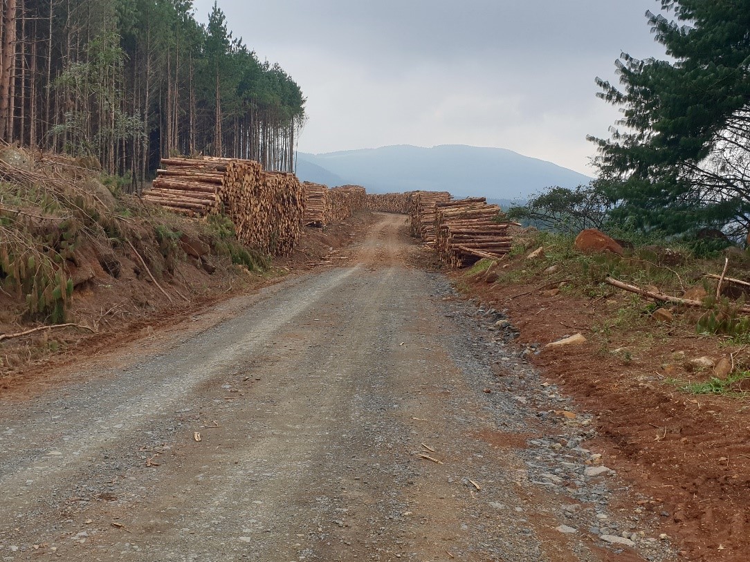
Forestry roads engineering
Agricultural land use planning and optimisation
Borrow pit management planning and design
Environmental Support to the Mining Industry
Baseline assessments of freshwater and terrestrial ecosystems prior to mining activities
Monitoring, mitigation and management of impacts on freshwater and terrestrial ecosystems
Mitigation and management plans to reduce impacts and manage pollutants
Freshwater and terrestrial ecosystem rehabilitation plans and mine closure plans
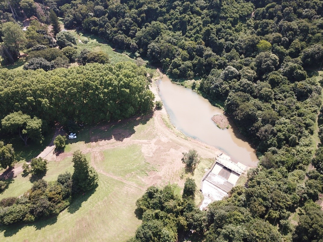
UAV (Drone) Operations
Fully licenced and compliant with South African Civil Aviation Authority regulations
Photogrammetry surveys
High-resolution orthorectified georeferenced imagery
Fixed point, repeatable photography
Monitoring and evaluation of ecosystems rehabilitation
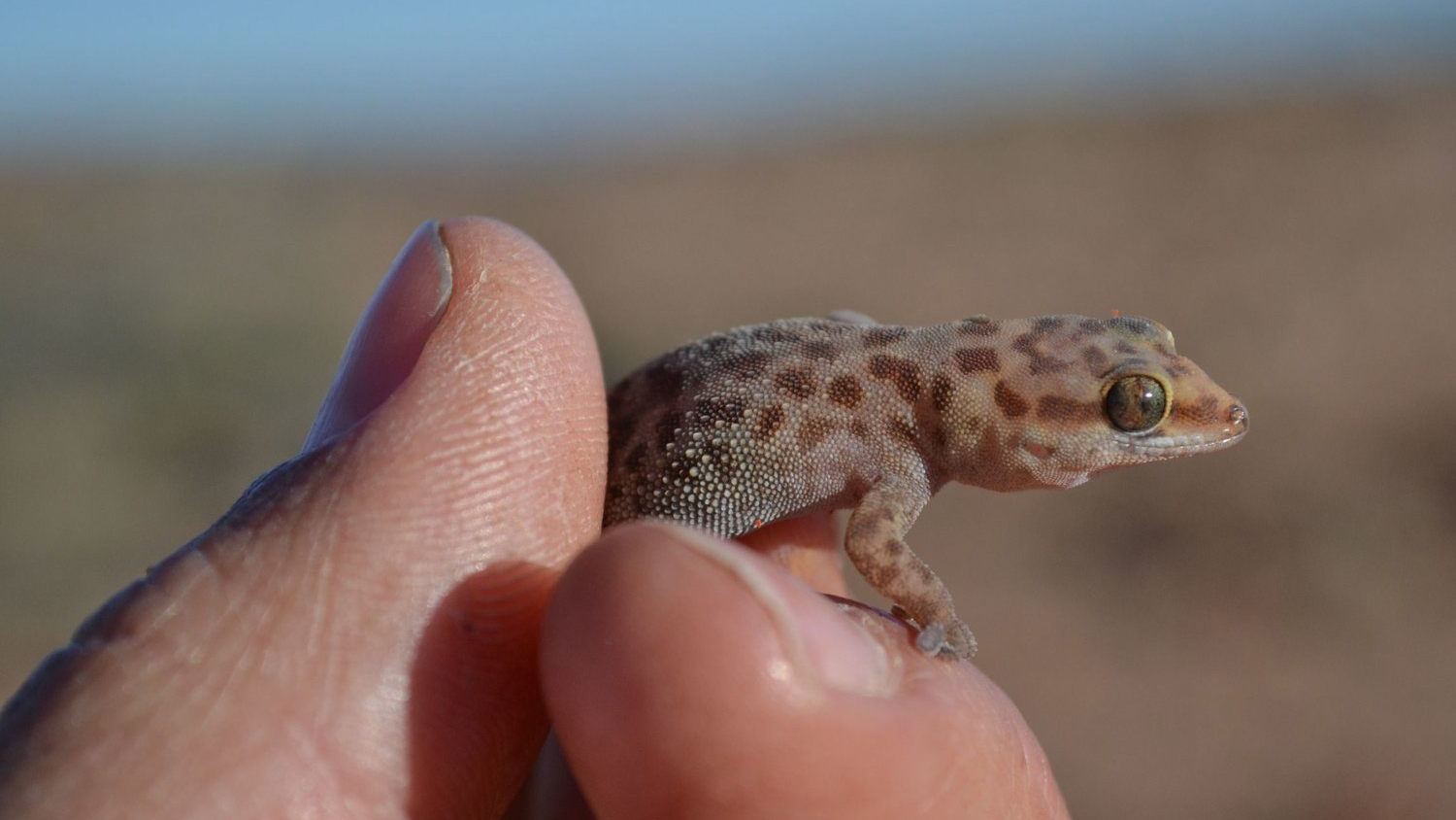
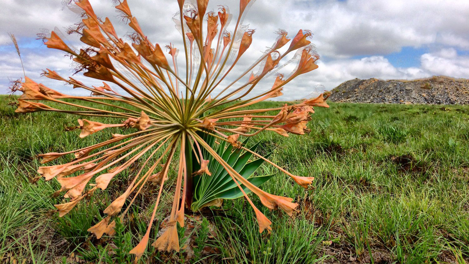
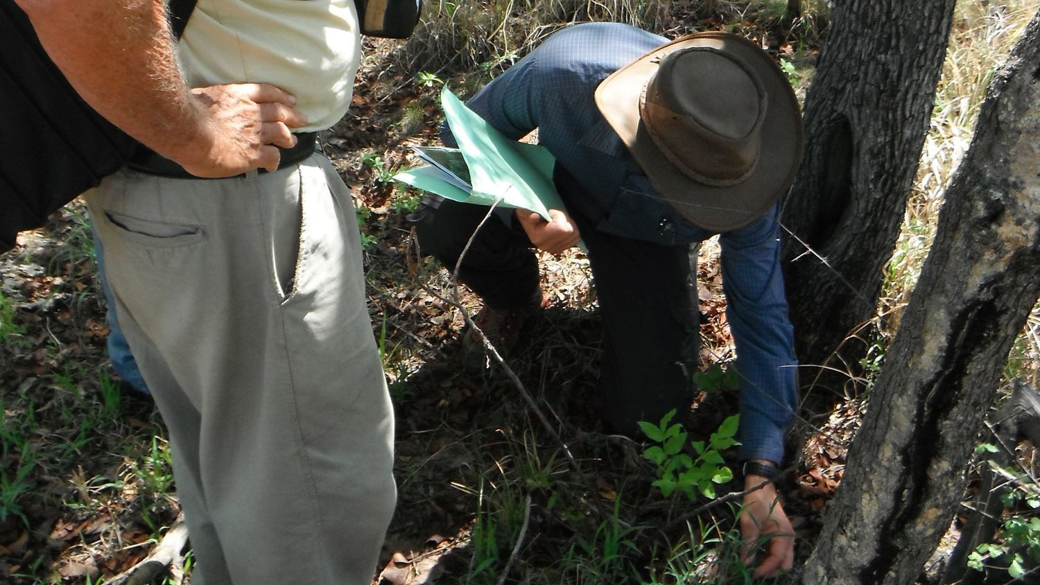
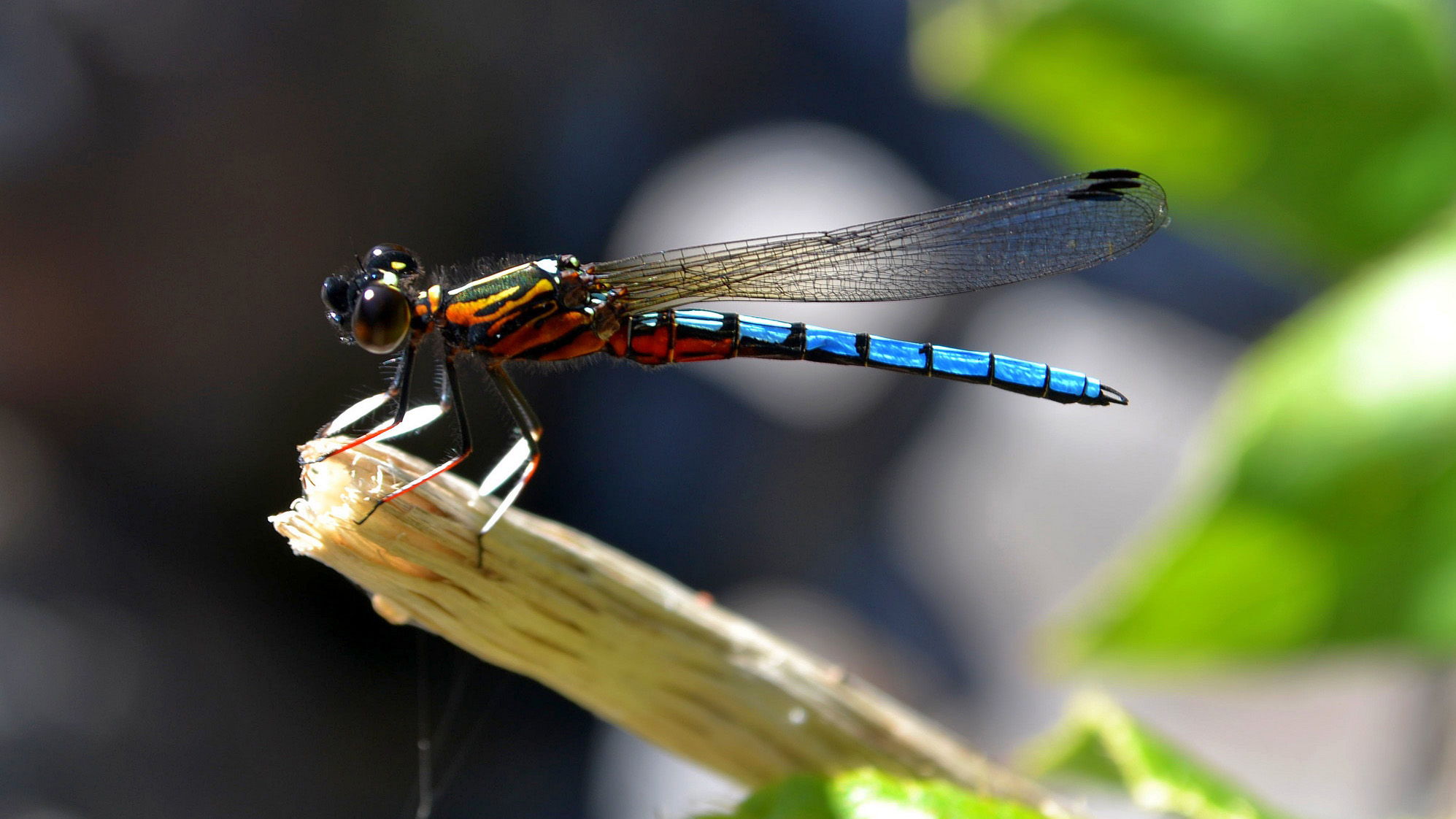
Biodiversity
Terrestrial and aquatic biodiversity assessments
Deskop assessments and reviews
In-field fauna and flora surveys
Assessment of conservation important species (Red data, rare and endemic species)
Classification, mapping and verification of vegetation, land cover and habitats
Ecosystem services assessments
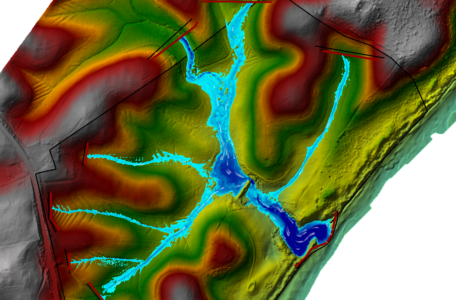
GIS and Biophysical Spatial Planning
Mapping and modelling the biological and physical environment
Habitat/species sensitivity mapping
Spatial Development Plans (SDP) and Frameworks (SDF)
Biodiversity conservation plans and sector plans
Biophysical constraints and limitations studies
Strategic Environmental Assessments (SEA)
Local Area Plans (LAP)
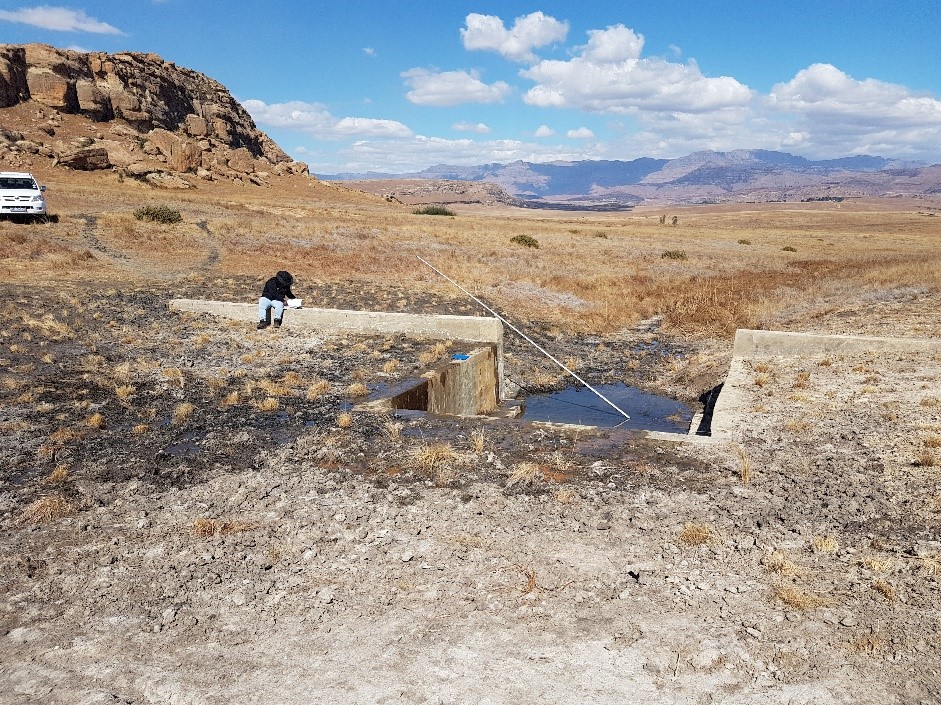
Ecological Water Requirements and Reserve Determination Studies
Determination of the aquatic environmental Reserve
Environmental flow requirements to maintain ecological condition
Hydrology
Hydrological modelling
Catchment management plans (CMP)
Land use change impacts on water resources and mitigation thereof
Development impacts on river hydrology
Stormwater management plans and mitigation of stormflow impacts on receiving watercourses
Water conservation and water demand management plans
Advanced Ecosystem Modelling
Bayesian Network modelling to predict environmental risk
Ecological cost-benefit analyses to optimise resource allocation and project success rates
Integrating multiple source-stressor-recetor-response modelling
Aquatic and Terrestrial Biodiversity Assessments
Specialist studies on the presence and health of wetland, river and terrestrial habitats and species on the site
Environmental management plans
Biophysical constraints and limitations studies to inform development planning and basic assessment or EIA process
Diatom Analysis
Diatom analyses services are available for the SPI (specific pollution sensitivity index), BDI (Biological Diatom index) and SADI (South African Diatom index) methods.
Depending on the requirements, it is possible to provide some indication of trophic statuses as well as organic and inorganic pollution tolerances
Training
miniSASS Training Course
Introduction to Aquatic Ecology
South African Scoring System version 5 (SASS5)
Advanced EcoClassification Modelling Courses (e.g. MIRAI, FRAI, VEGRAI, IHI)
Advanced EcoStatus and EIS determination Courses
QGIS Courses
Spill Management and Landfill Site Monitoring
Spill contamination and impact assessments
Mitigation and management recommendations
Monitoring and habitat recovery following spill incidents
Hazardous land fill site monitoring
Water quality monitoring
Aquatic biomonitoring
Environmental Impact Assessments (Specialist Input)
Aquatic and terrestrial biodiversity assessments
Environmental management plans
Scoping phase site biophysical constraints and limitations studies to inform development planning and basic assessment or EIA process
Environmental Data Management
Environmental monitoring data gaps and needs analyses
Development of environmental databases, inlcuding spatial data management
Development of on-line data management, spatial display and data interpretation systems
Corporate Social Investment
Facilitation of river care initiatives
Environmental-based community development programmes
Training to provide skills for sustainable livelihoods
Assist communities to build resilience into their landscapes
Research
Lead researchers on numerous long-term research projects within government and non-government sectors including the Water Research Commission, government departments, municipalities, mining, forestry and agriculture
Collaborative research with national / international specialists
Collaborative research with universities and other entities
Development and Sale of Industry Tools
Research and development of new tools
Adaptation of international tools for local use
Developed and refined through research and applied use within the industry